

| Date: | Thursday 11 October 1984 |
| Time: | 17:37 |
| Type: |  de Havilland Canada DHC-6 Twin Otter 100 |
| Owner/operator: | Labrador Airways |
| Registration: | C-FAUS |
| MSN: | 34 |
| Year of manufacture: | 1967 |
| Total airframe hrs: | 17585 hours |
| Engine model: | Pratt & Whitney Canada PT6A-20 |
| Fatalities: | Fatalities: 4 / Occupants: 4 |
| Aircraft damage: | Destroyed, written off |
| Category: | Accident |
| Location: | ca 46 km SE of Goose Bay Airport, NL (YYR) -
 Canada Canada
|
| Phase: | Approach |
| Nature: | Ambulance |
| Departure airport: | St. Anthony Airport, NL (YAY/CYAY) |
| Goose Bay Airport, NL (YYR/CYYR) | |
| Confidence Rating: |
The Twin Otter departed Goose Bay on a medical evacuation flight to St. Anthony. The flight was uneventful and landed in St. Anthony at 15:24. At 16:02, the aircraft departed St. Anthony on a VFR flight back to Goose Bay. On board were the two pilots and the doctor and nurse. Approaching the Goose Bay Airport, weather became marginal, but the crew continued visual flight. The crew likely encountered near zero forward visibility in snow showers and fog; it is probable that they were able to maintain vertical contact with the ground and were confident they could continue flight with visual reference to the ground. The crew may not have been able to see terrain ahead and therefore may not have been able to determine if the aircraft would clear the hills, particularly, when steep hills were encountered. The plane struck a rock outcropping 100 feet below the summit of a 2,050-foot mountain. After bouncing twice, the Twin Otter had come to rest in a small, wooded gully, approximately 350 feet from the initial point of impact.
PROBABLE CAUSE: "The Canadian Aviation Safety Board determined that the flight was attempted in mountainous terrain in marginal weather conditions. The aircraft was flown at an altitude which did not provide terrain clearance, and the aircraft struck amountain for undetermined reasons."
Sources:
Location
Images:
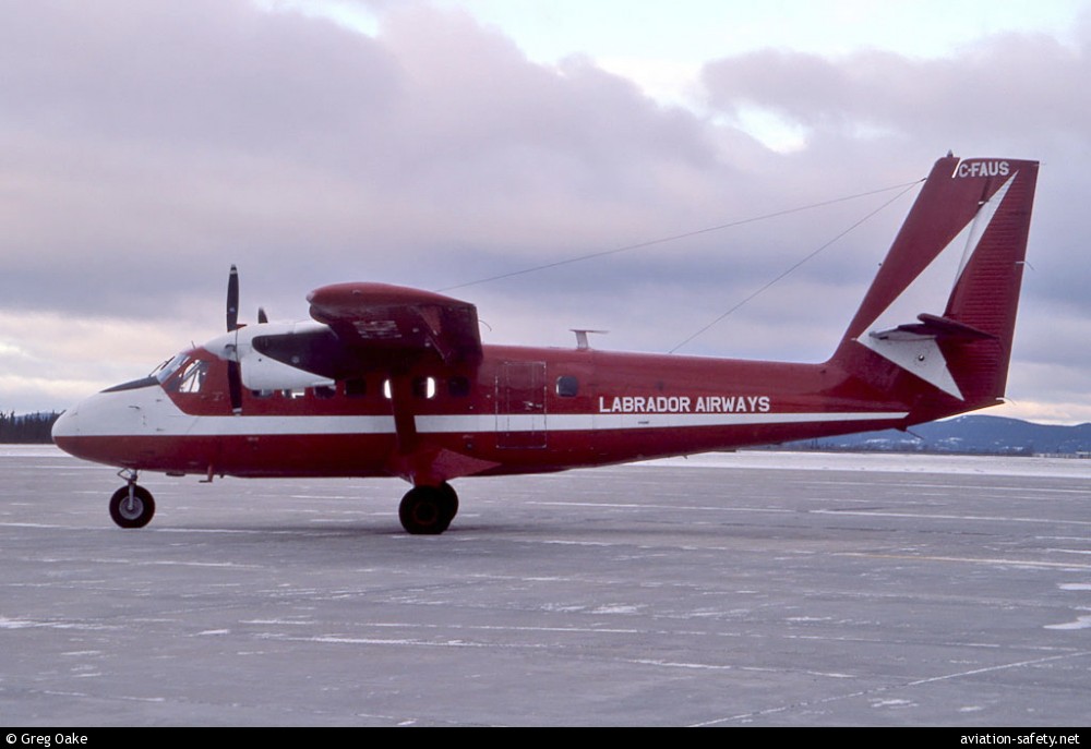
photo (c) Greg Oake; Goose Bay Airport, NF (YYR/CYYR); December 1981
Revision history:
| Date/time | Contributor | Updates |
|---|
The Aviation Safety Network is an exclusive service provided by:
Quick Links:
| ASN Home | Send Correction / Feedback |
| FSF Home | Disclaimer | Copyright |
| Contact Us | Privacy Policy |
| Press / Media |
 ©2024 Flight Safety Foundation