

| Date: | Saturday 2 March 1957 |
| Time: | |
| Type: |  Douglas C-54B-20-DO (DC-4) |
| Owner/operator: | Alaska Airlines |
| Registration: | N90449 |
| MSN: | 27239 |
| Year of manufacture: | 1944 |
| Fatalities: | Fatalities: 5 / Occupants: 5 |
| Aircraft damage: | Destroyed, written off |
| Category: | Accident |
| Location: | 6 km W of Blyn, WA -
 United States of America United States of America
|
| Phase: | En route |
| Nature: | Passenger - Scheduled |
| Departure airport: | Fairbanks International Airport, AK (FAI/PAFA) |
| Seattle/Tacoma International Airport, WA (SEA/KSEA) | |
| Investigating agency: | CAB |
| Confidence Rating: |
Alaska Airlines Flight 100 had arrived at Fairbanks from Seattle at 07:17 and was to fly back a little later. An IFR flight plan was filed with en route altitudes of 9500 to 12000 feet. The aircraft took off at 09:58 in VFR weather conditions. After following the Amber 2 airway at 10000 feet, the aircraft climbed to 12000 feet following the Blue airway. At 12:40 while over Haines, the crew cancelled their instrument flight plan and informed ARTC that it would proceed VFR to Annette and would file DVFR (Defence VFR) after Annette and before entering the CADIZ (Canadian Air Defence Identification Zone). Thereafter Flight 100 proceeded reporting positions as DVFR at 1000 feet. Last radio contact with the flight was at 17:17 when it reported its position near Dungeness in VFR.
Eyewitnesses in the area saw the aircraft beneath the overcast at 1000-1500 feet heading for foothills, the tops (2100 feet) of which were obscured by the clouds. The aircraft struck trees and cut a swath in the steeply rising wooded slope. The wings broke off and a fire erupted.
The wreckage was located one day after the accident, but could not be reached before March 6, due to adverse weather and inaccessibility of the location. The investigators found out that the co-pilots instruments had been removed from the relatively undamaged panel and stolen by vandals.
PROBABLE CAUSE: "Navigational error and poor judgement exhibited by the pilot in entering an overcast in a mountainous area at a dangerously low altitude."
Accident investigation:
 |
|
Sources:
ICAO Accident Digest No.9, Circular 56-AN/51 (58-62)
Location
Images:
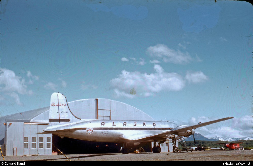
photo (c) Edward Hand; Anchorage, AK
Revision history:
| Date/time | Contributor | Updates |
|---|
The Aviation Safety Network is an exclusive service provided by:
Quick Links:
| ASN Home | Send Correction / Feedback |
| FSF Home | Disclaimer | Copyright |
| Contact Us | Privacy Policy |
| Press / Media |
 ©2024 Flight Safety Foundation