

| Date: | Thursday 29 February 1996 |
| Time: | 20:36 |
| Type: |  Boeing 737-222 |
| Owner/operator: | Faucett Perú |
| Registration: | OB-1451 |
| MSN: | 19072/86 |
| Year of manufacture: | 1968 |
| Engine model: | Pratt & Whitney JT8D-9A |
| Fatalities: | Fatalities: 123 / Occupants: 123 |
| Aircraft damage: | Destroyed, written off |
| Category: | Accident |
| Location: | 6,3 km W of Arequipa-Rodriguez Ballon Airport (AQP) -
 Peru Peru
|
| Phase: | Approach |
| Nature: | Passenger - Scheduled |
| Departure airport: | Lima-Jorge Chávez International Airport (LIM/SPIM) |
| Arequipa-Rodríguez Ballón Airport (AQP/SPQU) | |
| Investigating agency: | DGAT Peru |
| Confidence Rating: |
Faucett flight 251, a Boeing 737-222, took off from Lima, Peru at 19:10 for a domestic flight to Arequipa and Tacna. When performing a VOR/DME approach to runway 09 at Arequipa, the aircraft impacted a hillside at an altitude of 8015 feet. The main fuselage carried over the initial ridge and impacted near the top of a second ridge. The empennage fell to an arroyo between the two ridges.
It appeared that the pilot reported crossing the PADIS reporting point, located 5.7 nautical miles from the runway, at the required altitude of 9500 feet, while the aircraft was actually flying at 8644 feet. Airfield elevation is 8404 feet.
Main Cause
Crew error
01- Descending below the official minimum altitude established for the VOR instrument approach at Arequipa airport.
02- Attempting to fly in VFR visual conditions, when they were in IFR instrument conditions (fog bank), at low altitude in the final approach phase to Arequipa's runway 09.
Accident investigation:
 |
|
Sources:
Aviation Week & Space Technology 11.03.96(33)
Flight International 24--30 April 1996 (12)
NTSB
Volkskrant 02.03.96(4)
Location
Images:
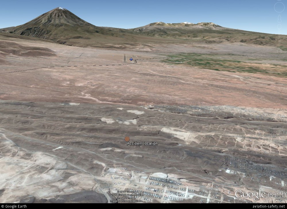
photo (c) Google Earth; Arequipa-Rodríguez Ballón Airport (AQP/SPQU)
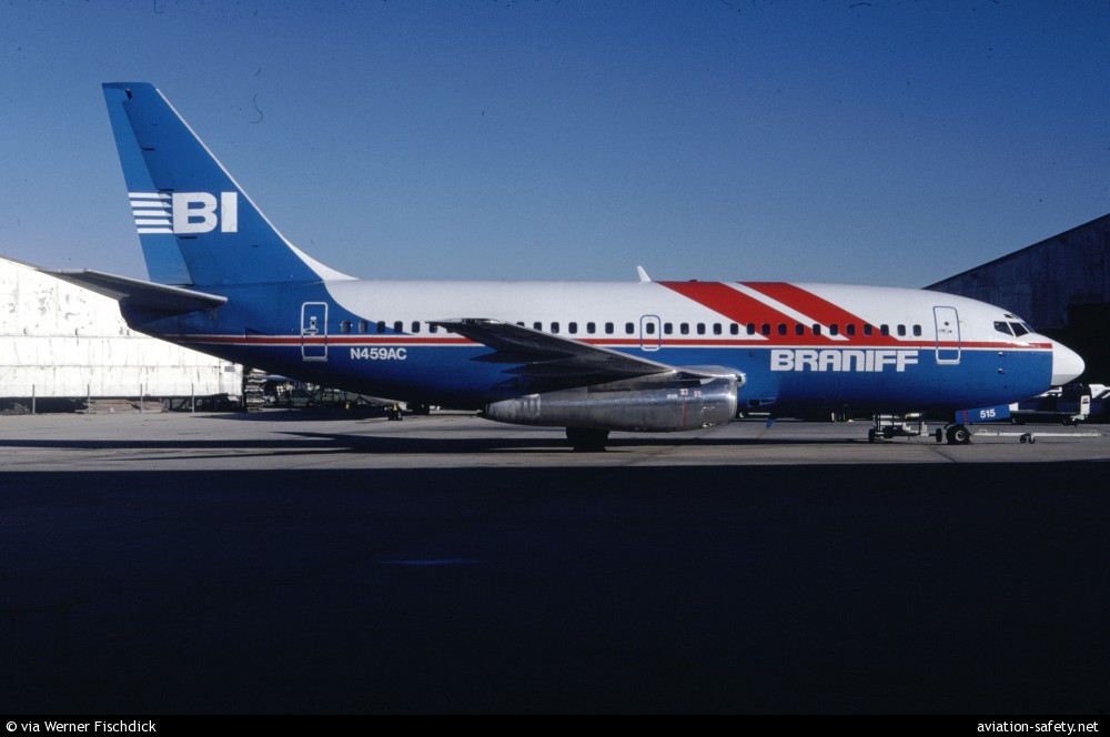
photo (c) via Werner Fischdick; Opa-Locka Airport, FL (OPF); February 1990
Revision history:
| Date/time | Contributor | Updates |
|---|
The Aviation Safety Network is an exclusive service provided by:
Quick Links:
| ASN Home | Send Correction / Feedback |
| FSF Home | Disclaimer | Copyright |
| Contact Us | Privacy Policy |
| Press / Media |
 ©2024 Flight Safety Foundation