

| Date: | Friday 9 October 2009 |
| Time: | 11:00 |
| Type: |  CASA C-212 Aviocar 200 |
| Owner/operator: | United Nations - UN |
| Registration: | FAU-531 |
| MSN: | 187 |
| Year of manufacture: | 1981 |
| Total airframe hrs: | 10780 hours |
| Fatalities: | Fatalities: 11 / Occupants: 11 |
| Aircraft damage: | Destroyed, written off |
| Category: | Accident |
| Location: | 20 km W of Fonds-Verrettes -
 Haiti Haiti
|
| Phase: | En route |
| Nature: | Military |
| Departure airport: | Port-au-Prince Airport (PAP/MTPP) |
| Port-au-Prince Airport (PAP/MTPP) | |
| Investigating agency: | FAU-DSV |
| Confidence Rating: |
The CASA C-212 Aviocar 200 departed Port-au-Prince Airport, Haiti, at 09:32 hours. The border patrol mission along the Haiti/Dominican Republic border was carried out for the United Nations Stabilization Mission in Haiti (MINUSTAH).
The procedure was to operate the aircraft in VMC conditions at all times, with the tailgate open and the ramp at aircraft floor level, maintaining a speed between 105 and 120 kt. and a recommended altitude of 1500 ft. The flight made position reports about every 20 minutes. At 10:49, the aircraft was close to Port-au-Prince. This was the last communication with the flight.
The aircraft then continued to fly over the area and at 10:56 hours headed towards a valley. Four minutes later the aircraft impacted the ground at an altitude of 3820 ft.
An investigation revealed that the aircraft departed from the flight plan, likely at the request of the mission planners. The flight then entered mountainous terrain with a deep and boxed valley. The flight into the valley was beyond the capabilities of the flight crew due to their lack of mountain flying experience. The aircraft was unable to climb above the terrain and was forced to make a turn in the valley. At a 21° pitch the aircraft lost lift and stalled. It struck the ground an attitude of about 70° nose down and about 60° bank to the left.
It was understood that there was a slight appreciation of the situation, operational judgement, an inadequate decision making process, carelessness or disregard of the area to be operated, resulting in an underestimation of the risks and finally in a wrong operational decision.
Loss of situational awareness that resulted in a miscalculation of height above ground and distance to the mountain in front of him, in order to avoid the operation safely, perhaps due to little experience of flying in the mountains.
Accident investigation:
 |
|
Sources:
Fuerza Aérea Uruguaya
Location
Images:
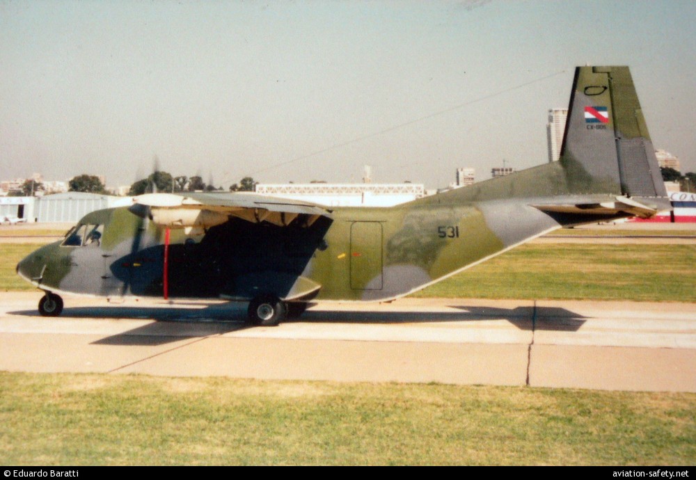
photo (c) Eduardo Baratti; Buenos Aires-Jorge Newbery Airport, BA (AEP/SABE); February 2000
Revision history:
| Date/time | Contributor | Updates |
|---|
The Aviation Safety Network is an exclusive service provided by:
Quick Links:
| ASN Home | Send Correction / Feedback |
| FSF Home | Disclaimer | Copyright |
| Contact Us | Privacy Policy |
| Press / Media |
 ©2024 Flight Safety Foundation