

| Date: | Wednesday 12 August 2015 |
| Time: | 12:05 |
| Type: |  Cessna 208B Super Cargomaster |
| Owner/operator: | Mountain Air Cargo |
| Registration: | N924FE |
| MSN: | 208B0024 |
| Year of manufacture: | 1987 |
| Engine model: | Pratt & Whitney Canada PT6A-114A |
| Fatalities: | Fatalities: 0 / Occupants: 1 |
| Aircraft damage: | Substantial, written off |
| Category: | Accident |
| Location: | 0,8 km SW off Saba -
 Caribbean Netherlands Caribbean Netherlands
|
| Phase: | En route |
| Nature: | Cargo |
| Departure airport: | San Juan-Luis Muñoz Marín International Airport (SJU/TJSJ) |
| Saint Kitts-Golden Rock Airport (SKB/TKPK) | |
| Confidence Rating: |
A Cessna 208B Super Cargomaster cargo plane ditched in the waters off Saba, Caribbean Netherlands, following a loss of engine power. The pilot was rescued.
The aircraft operated as Mountain Air Cargo flight MTN8124, originating at San Juan-Luis Muñoz Marín International Airport (SJU), Puerto Rico at 10:49 hours local time. The aircraft climbed to FL110 and remained at this altitude until 11:39 hours local time.
The airplane descended to FL100 and continued at that altitude until 11:53 hours. Near the DANDE waypoint white smoke entered the cabin from the engine compartment, forcing the pilot to don his oxygen mask. From then on the Cessna entered a gradual descent at 600-800 ft/minute.
Meanwhile the engine temperature increased and the low oil quantity warning light illuminated. Oil then splattered over the wind screen, limiting the pilot's forward view.
Course was changed to the northeast for an emergency landing at Saba. At an altitude of 8000 feet the engine quit and the propeller autofeathered. When the engine failed to restart, the pilot decided to ditch the plane half a mile off the Saba coast.
The airplane sank in about 1500 ft of water.
Flightaware flight track records show the aircraft at 3600 feet, about 900 m off the Saba shore. The Saba Airport was located on the other end of the island, 5,7 km as the crow flies. However, the pilot would have to circumnavigate the island's Mount Scenery (elevation 887 m /2910 feet). Two further data points of the aircraft's flight track show it descending to the right to the south of the island.
Sources:
timescaribbeanonline.com
Kwartaalrapportage Luchtvaart juli-september 2015 / Onderzoekraad voor Veiligheid
Location
Images:

photo (c) Flightaware.com / Google; near Saba; 12 August 2015
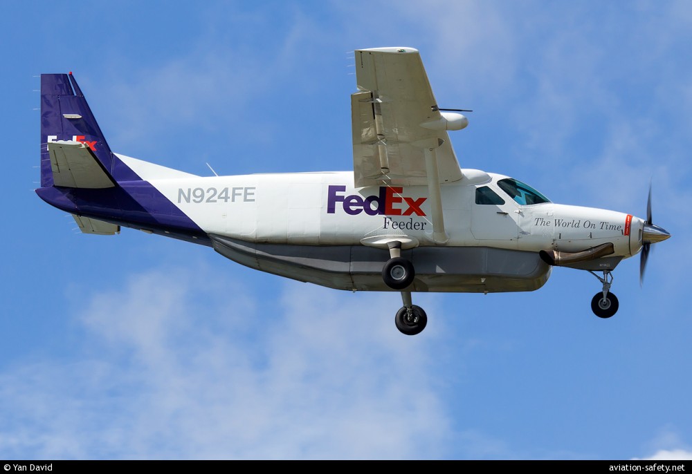
photo (c) Yan David; Fort-de-France-Aimé Césaire International Airport (FDF/TFFF); 24 February 2014; (CC:by-sa)
Revision history:
| Date/time | Contributor | Updates |
|---|
The Aviation Safety Network is an exclusive service provided by:
Quick Links:
| ASN Home | Send Correction / Feedback |
| FSF Home | Disclaimer | Copyright |
| Contact Us | Privacy Policy |
| Press / Media |
 ©2024 Flight Safety Foundation